The Trail Times
Running and hiking Oregon's trails with Peter Mathios
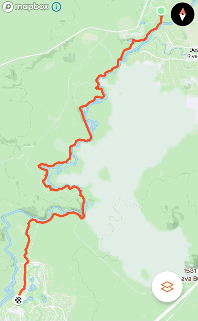
The Deschutes River Trail

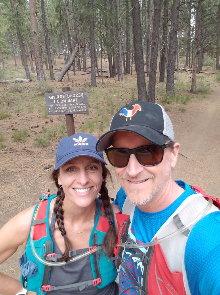
Like all recent races, the Bend Marathon and Half was cancelled this past April due to the Corona virus. The race directors gave entrants a choice between postponing entries to next year or running a virtual race this year before May 31. My wife and I chose to run the virtual half and we chose to run it in Bend, but not on the race course. As we are both nursing some injuries, we decided instead to do a trail run/hike along the Deschutes River from Bend to Sunriver and having lived in Bend in the past, this was a nostalgic journey down memory lane.
The Deschutes River starts high in the Cascades as the outlet of Little Lava Lake and ends up as a major tributary for the mighty Colombia. Almost all of it’s water funnels off the eastern slopes of the Cascades. Originally working it’s way south through Crane Prairie Reservoir before turning northbound at Wickiup Reservoir, the river is one of the main recreational features of Central Oregon. Mountain bikers, rafters, hikers, fishermen, and trail runners populate the trail throughout much of it’s journey. And, it was quite crowded this past Monday – Memorial Day, our virtual race day.

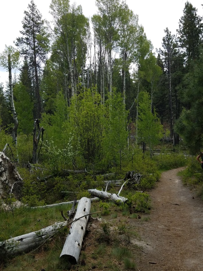
The Deschutes River Trail winds its way past various “falls” that are more like extended rapids running through chutes formed by ancient lava flows when nearby Lava Butte erupted. And, in between each of the falls are meadows, pine forests, aspen groves, wetlands, and soul-cleansing views of the Deschutes. The first part of the trail starts with a mild climb up and away from the river before leveling out and cruising through pines on some technical single track with lots of rocks and roots. Most of the trail is not like that though and is easily navigable.
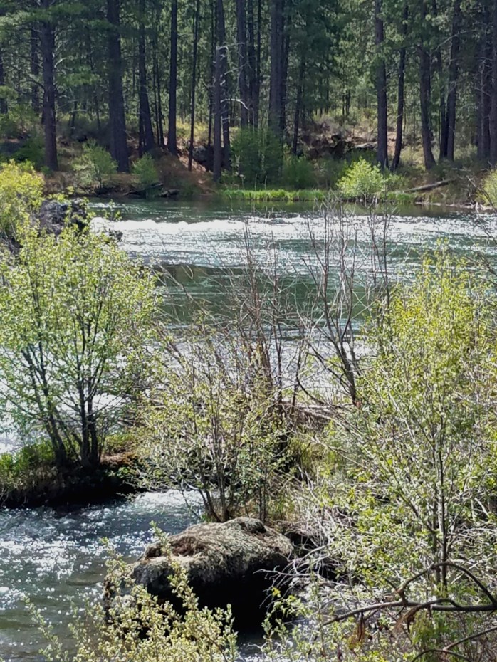
Lava falls is the first falls that you come to and also your first view of the Newberry National Volcanic Monument. The monument is 54000+ acres and this section of the trail is just across the river from it’s far western boundary. The spectacular lava flows are visible most of the way to Benham Falls, the last of the three falls on this section of the river. Dillon Falls (the second falls) and Benham Falls offer excellent viewing if you have time to stop, which we did!

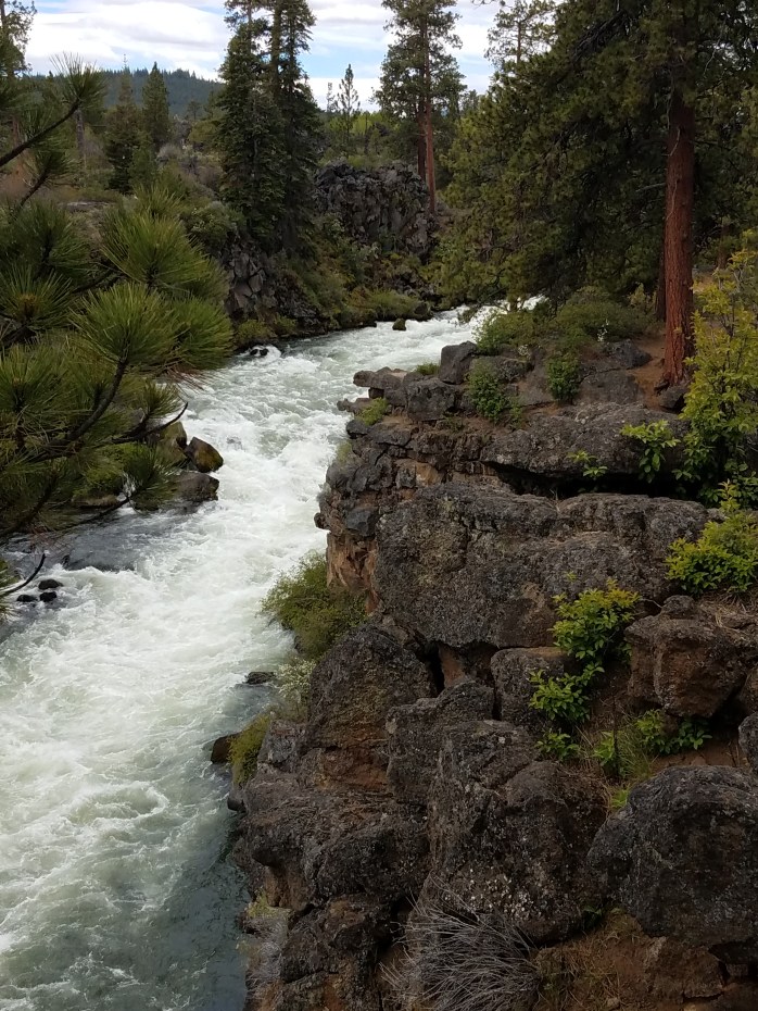
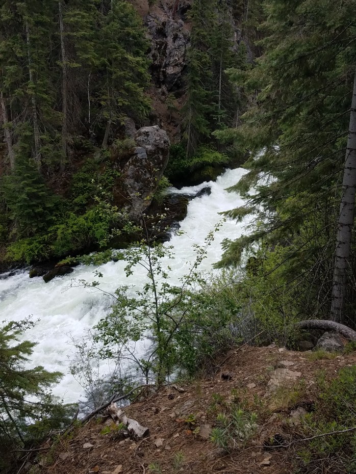
Along the trail, the river keeps things interesting by revealing it’s split personality time and again. Calm, smooth, and quiet sections create a meditative environment enjoyed by stand up paddle boarders and kayakers alike. But, not far from these peaceful, glassy passages, the river’s tumultuous personality rears itself in powerful rapids and turbulent waterfalls. Incredibly, kayakers have successfully run these rapids including class V+ Benham Falls.
Just past Benham Falls, you find yourself on a wide, straight, and somewhat crowded gravel path until you reach the bridge that crosses the river. Turn right here to stay on the trail. For us the crowds vanished at this point. After a short time, river views are left behind as you wind through a lodgepole pine forest before hitting the pavement at Circle 7 in Sunriver. This part seemed to pass by quickly as the trail was slighlty downhill and curved nicely through the trees. We ended up a mile short of our half marathon distance so we kept running through Sunriver until we hit the magical number – 13.1. And, it was time to celebrate!