The Trail Times
Running and hiking Oregon's trails with Peter Mathios
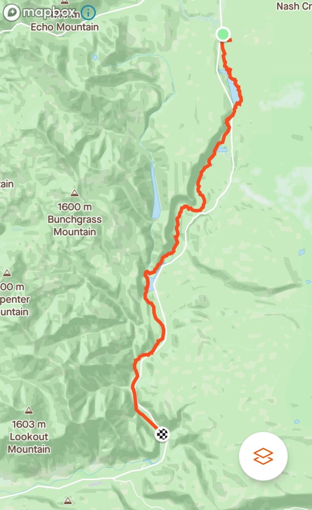
The McKenzie River Trail

Well… most of the McKenzie River Trail anyway. The plan was to run the entirety of the trail, which according to All Trails, is 24.1 miles point to point. However, things didn’t quite go according to plan.

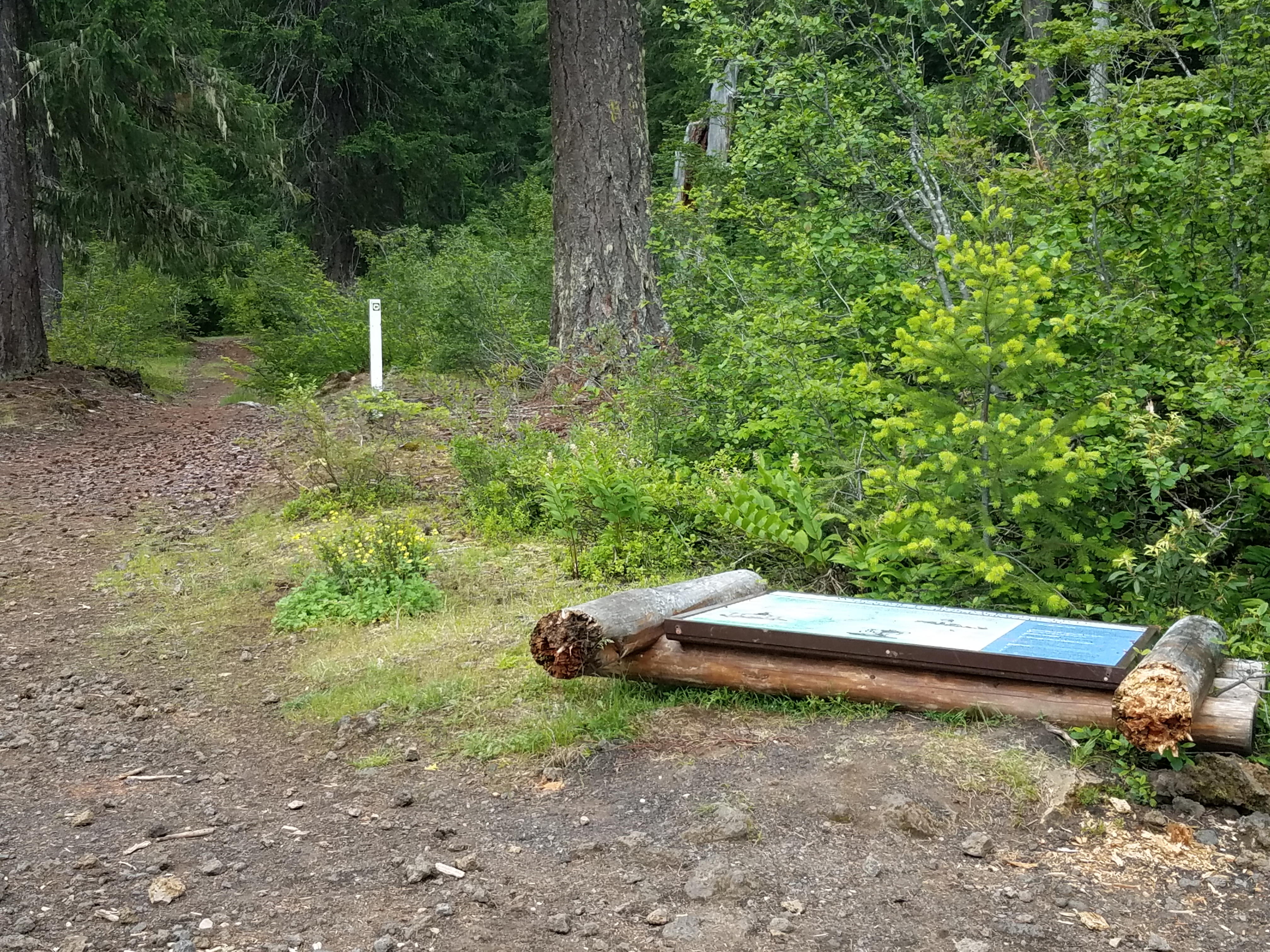
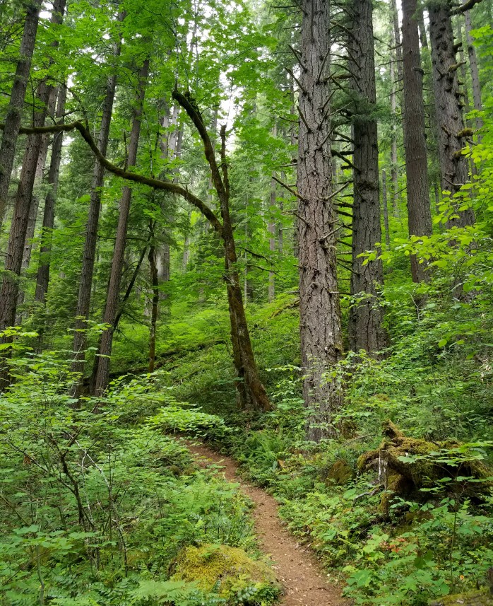
The McKenzie River Trail is well known among mountain bikers as a great ride. It’s generally downhill with a lot of sweeping, fast single track, but with enough technical rocky sections to keep even seasoned riders honest. My crew dropped me off at the trail head and in my excitement I ran straight out of the parking lot, right past the fallen signage, and blissfully onto the Old Santiam Wagon Trail thinking I was on my way.
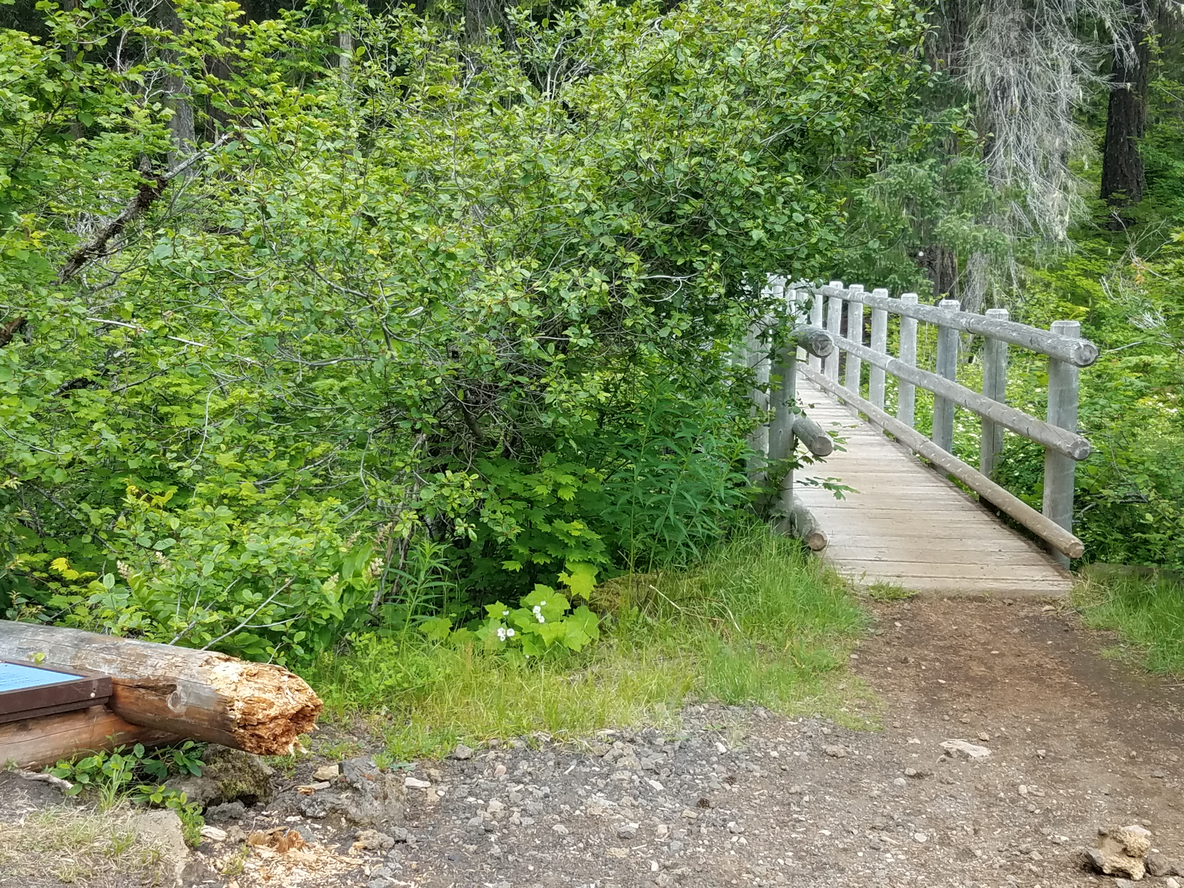
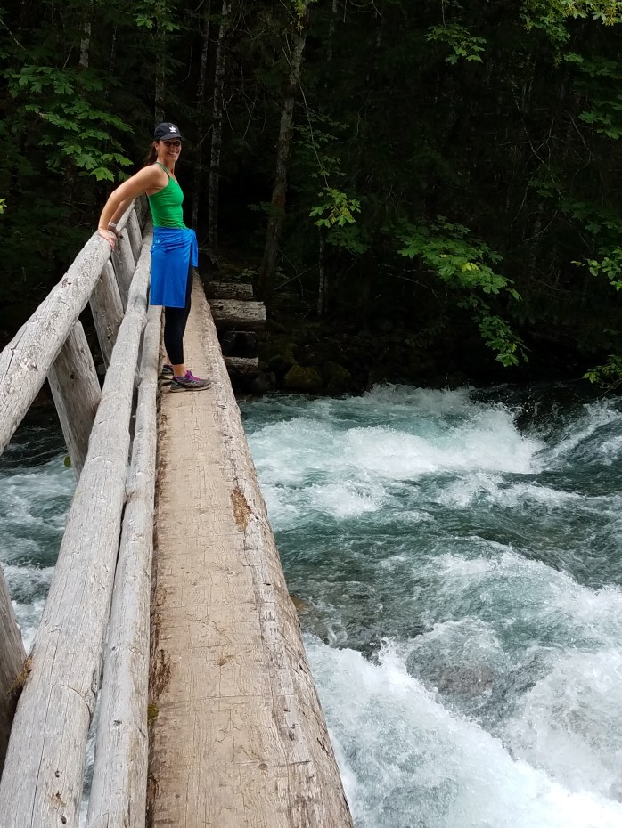
About a half mile in, something wasn’t feeling quite right. I checked my All Trails app and sure enough, I was heading southeast instead of straight south and was off course. A passing solo mountain biker confirmed the news and told me that I needed to cross the bridge out of the parking lot. So, after the first mile of running, I hadn’t even set foot on the McKenzie River Trail yet. Still 24.1 to go.
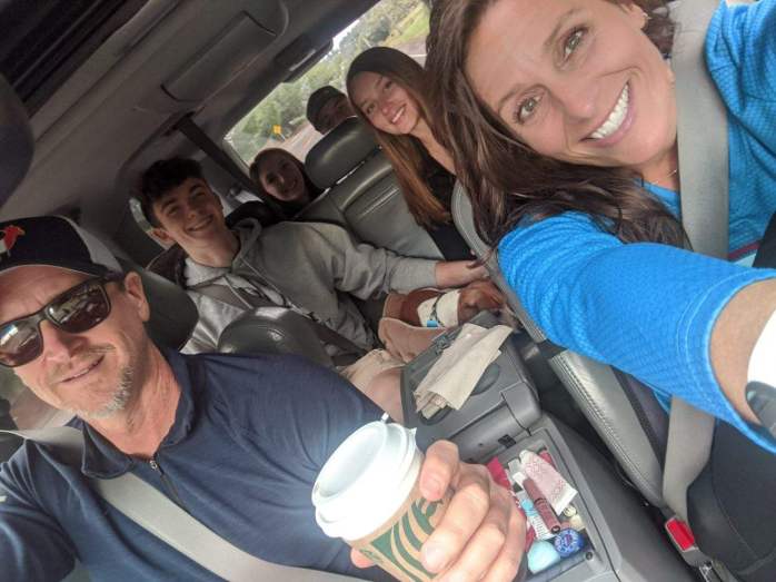
Back at the parking lot I wondered how I missed the sign. It was broken and on the ground, but still, it was pretty big! I crossed the bridge and was on my way. The upper part of the trail was beautiful, slightly downhill single track. And before I knew it, I was on familiar ground working my way through the lava field on the east side of Clear Lake (see earlier post). Being a Saturday, the resort was packed and there were a lot of boats on the water. My son and his girlfriend rented a rowboat and planned to fish since I was not planning to be at the first ‘aid station’ for a couple of hours. My daughter and her boyfriend were the official shuttlers on the trip as my wife was going to join me to run from the Blue Pool parking lot 10 miles ahead.
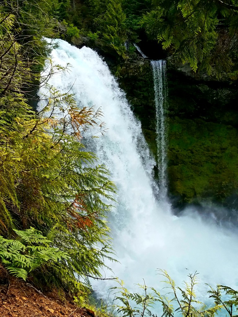
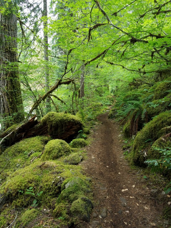
After crossing the river just past Clear Lake, the next major landmark is Sahalie Falls, the first major waterfall followed soon after by Koosah Falls. Through this section the trail is fairly technical, but very fun with fresh legs. Carmen Reservoir is just below the two falls. Here, the trail begins to smooth out and the river vanishes under ground for a few miles. I was able to develop a good rhythm while snaking through the pine forest before coming to the top of Blue Pool where the river reemerges – and the crowds appear. Before this point there were only a couple of mountain bikers, backpackers and two uphill traveling trail runners. Blue Pool, on the other hand, was a hive of activity and for good reason – it is stunning!
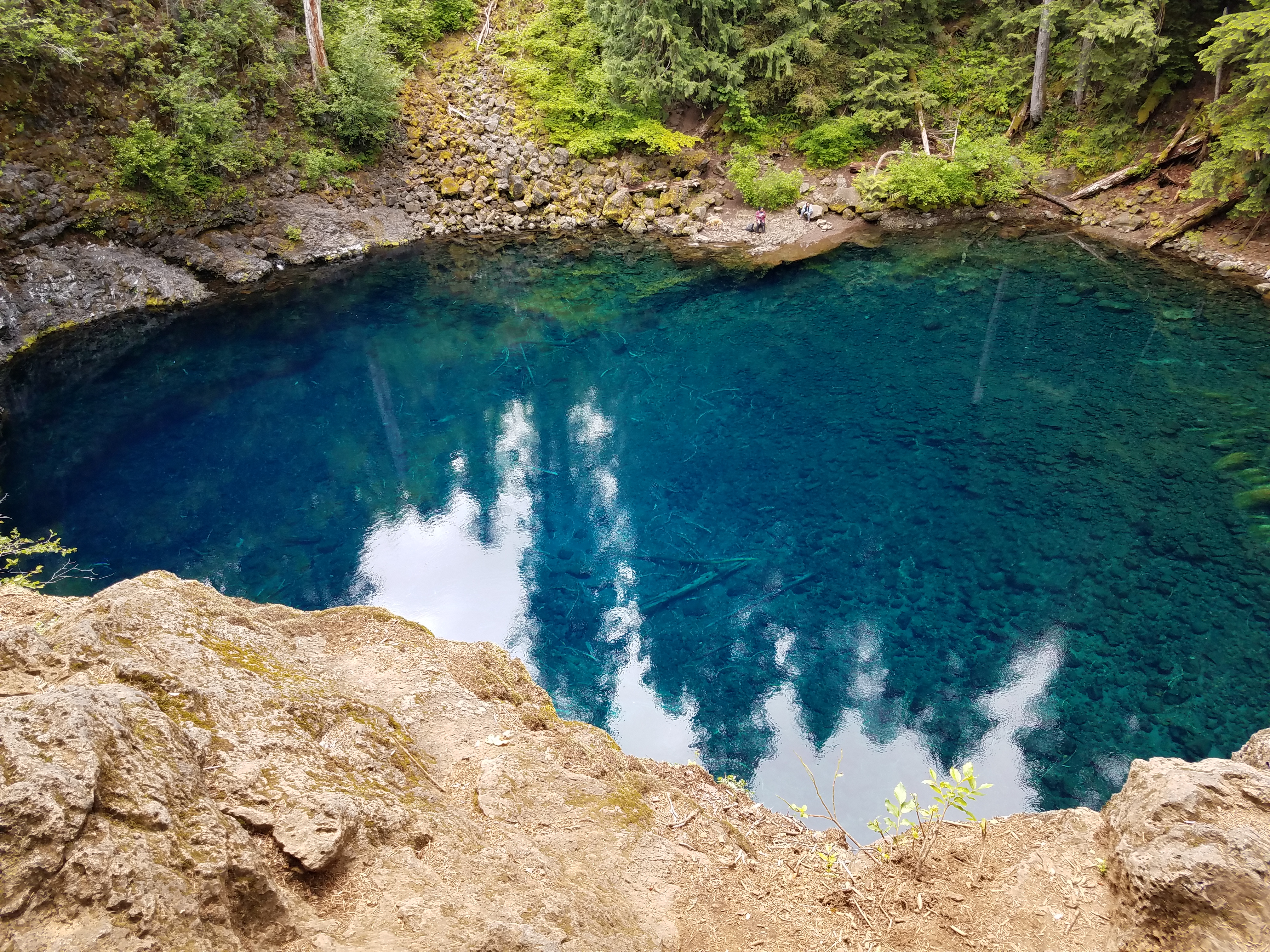
This part of the trail is very technical and very crowded. I’m talking traffic jam crowded. My run was slowed to mostly a walk/pause for uphill travelers. However, this section is beautiful and well worth seeing. Being way overdue to the ‘aid station’, my worried, waiting crew was excited to see me finally run out of the woods and into the parking lot!
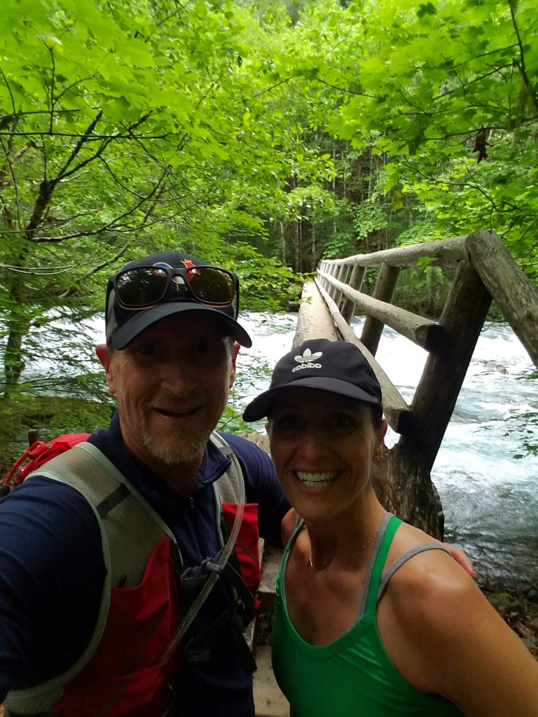
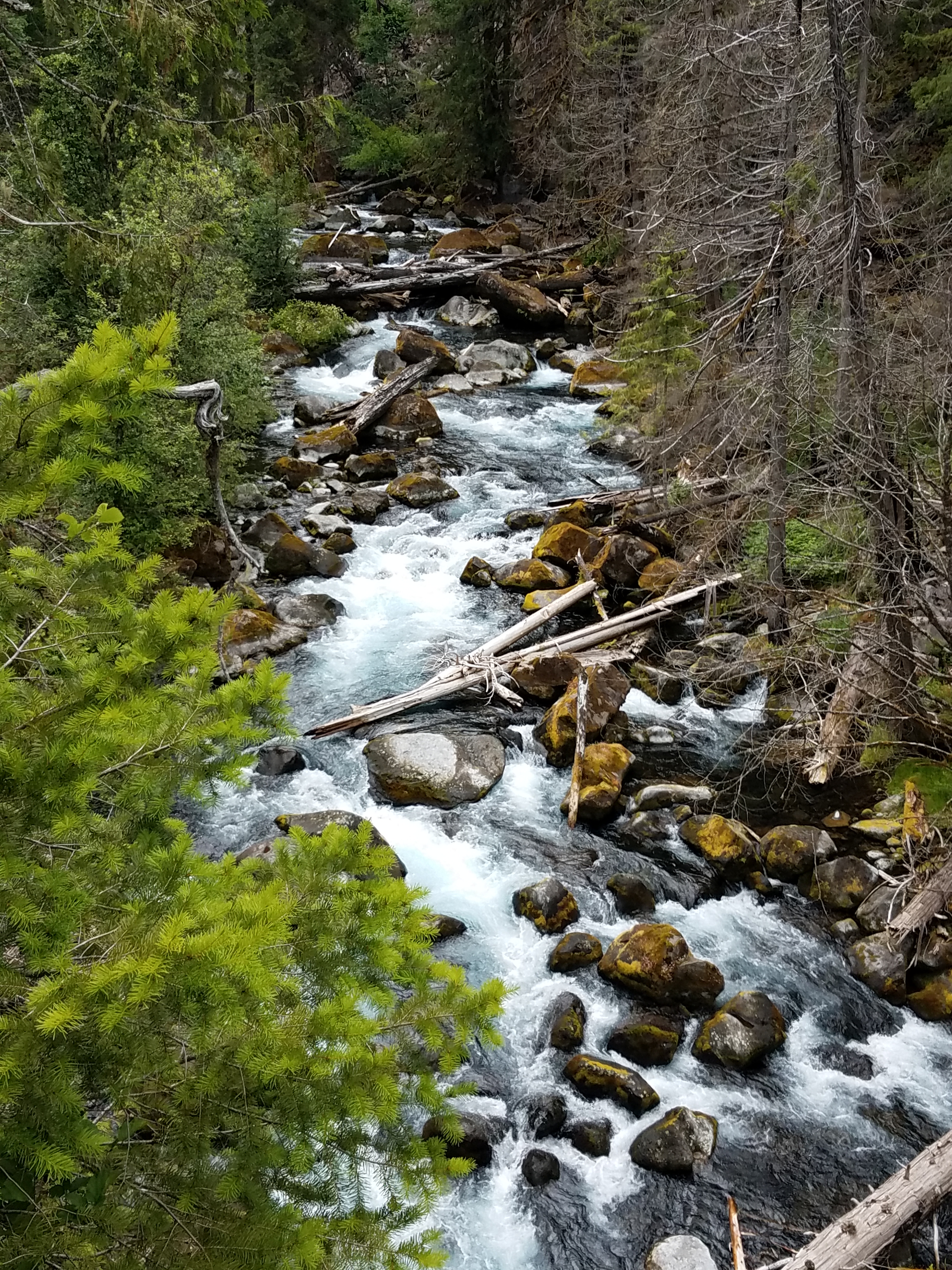
The good news is my wife, Rachelle, joined me for the next leg which was 4.8 miles to Deer Creek Road. This section had a couple of climbs but was mostly sweeping single track through the woods and next to the river. All told, even though the trail starts at approximately 3200′ in elevation and drops to roughly 1750′, in between, my Strava showed there was 1650′ of climbing – so it is not all downhill all the time.
After arriving at the car, we realized that we only had time for one more section. Rachelle decided to run this section too, and it went by quickly. Unfortunately, the slow downs from the technical sections higher up on the trail were unanticipated (as was the wrong turn at the start). Plus, my son had baseball practice to get to. It should be said that I also bribed my crew by promising Coburg Pizza so 3.1 miles later at Frissel Boat Ramp time was up and promises had to be kept. All told it was a 20 mile day, but I will be back to complete the entirety of the trail as it is an amazing journey!